Více než 15 let poskytujeme služby v oblasti
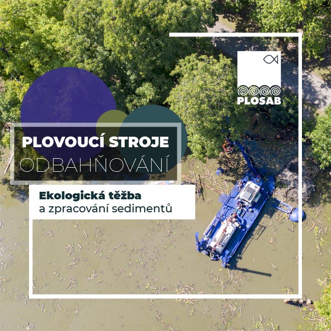
odbahnění rybníků a údržby vodních ploch
Naší specializací je tzv. mokrá cesta odbahňování pomocí
plovoucích strojů a plovoucích sacích bagrů.
Nabízíme úplnou škálu služeb od prvotních odběrů vzorků, geodetického zaměření lokality, laboratorních analýz,
přes těžbu sedimentu až po konečné zpracování či uložení vytěženého materiálu.
Kromě odbahnění - těžby sedimentu z rybníků, jezer, kališť, řek, potoků dále provádíme sekání a úklid vegetace z vodních ploch pomocí sekacích lodí.
Naše obojživelné stroje jsou schopny pracovat (sekat, odklízet, bagrovat, sát...) na vodě i v neúnosném terénu s vodou.
.png)
PŮSOBÍME NA ÚZEMÍ ČESKÉ I SLOVENSKÉ REPUBLIKY
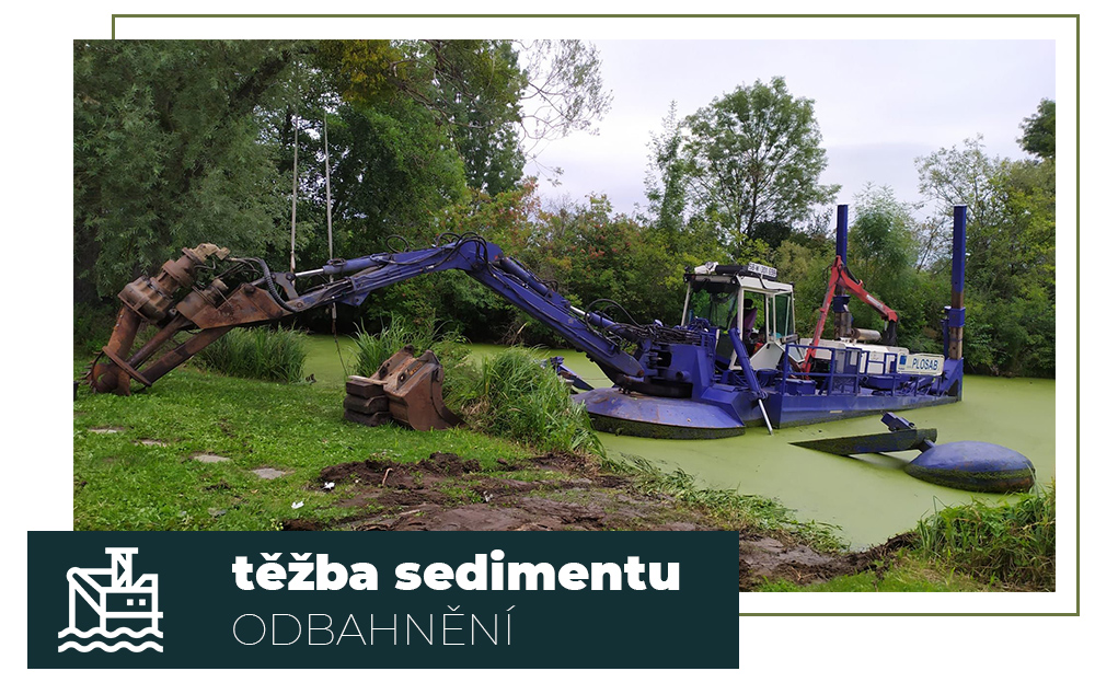
PLOVOUCÍ SACÍ BAGRY
Těžba sedimentu - odbahnění pomocí plovoucích sacích bagrů
Naše nabídka zahrnuje veškeré potřebné činnosti od investičního záměru, přes těžbu a dopravu materiálu, po zpracování a uložení vytěženého sedimentu.
Při realizacích odbahnění rybníků a řek vycházíme z mnoholetých zkušeností s těžbou plovoucími sacími bagry a se zpracováním vytěženého sedimentu.
Těžíme z jakékoliv hloubky a materiál jsme schopni čerpat do vzdálenosti několika kilometrů. Vytěžený zvodnělý materiál můžeme dále zpracovat - odvodnit.
PLOVOUCÍ STROJE
Beranění na vodě, bagrování a kamenné záhozy
Provádíme výkopy pod vodou, budování kamenných záhozů a další potřebné práce z vodní hladiny za pomoci plovoucích strojů s hydraulickým ramenem.
Opevňujeme břehy kamenným záhozem, zatloukáme dřevěné kůly nebo larseny (štětovnice).
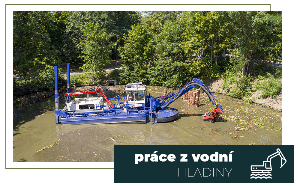
UNIVERZÁLNÍ PÁSOVÝ BAGR
Obojživelný nosič nástrojů pro práci z vodní hladiny
DEMU 225 je univerzální obojživelný nosič nářadí, který je možné osadit různými pracovními nástroji (lžíce, svahové lžíce, drapáky, nůžky, bourací kladiva, beranidla…).
Pohybuje se na suchu a v mělkých vodách pomocí pásů nebo pluje a kotví se na hladině pomocí výsuvných pilot.
Spolehlivě zvládne
- bagrovat
- odstraňovat vodní vegetaci odbagrováním
- opevňovat břehy, budovat kamenné záhozy z vodní hladiny
- odsávat a transportovat sediment potrubím
- beranit larseny, piloty či kůly
.jpg)
.jpg)
ODVODŇOVACÍ TECHNOLOGIE
Těžba a zpracování sedimentu v odvodňovacích vacích
Společnost PLOSAB s.r.o. je výhradním zástupcem pro technologii odvodněn SOLMAX Geotube® na území České a Slovenské republiky.
Vaky Geotube® nacházejí uplatnění v mnoha oborech a to i tam, kde byly až doposud využívány jiné technologie.
Tato technologie umožňuje
- čištění a dekontaminaci vodních ploch,
- zpracování průmyslových a odpadních sedimentů,
- snižování nákladů na převoz a uložení kontaminovaných kalů a další výhody.
EXPERTNÍ SLUŽBY
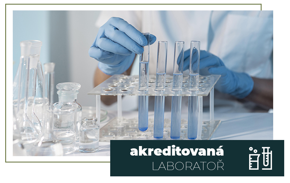
Odběry a analýzy sedimentů a mapování dna
Nabízíme akreditovaný odběr vzorku sedimentu, zpracování a analýzy vzorku sedimentu v akreditované laboratoři, vyhodnocení výsledků analýz, odběr vzorku a zjišťování agrochemických vlastností půdy, na kterou má být sediment použit a zpracování studie o možnostech využití sedimentů z vodních nádrží.
Zaměřujeme uložený sediment a mapujeme dno měřícím člunem.